W/ Power, Utilities & Hwy Frontage
Ramah, NM 87020
Cibola County, New Mexico
Farm Description
Cash Price: $25,000
Terms Offered: 20% Down Payment of $5,000, 9.9% Interest Rate, $400 Monthly Payment, 60 Month Term
Location & Size
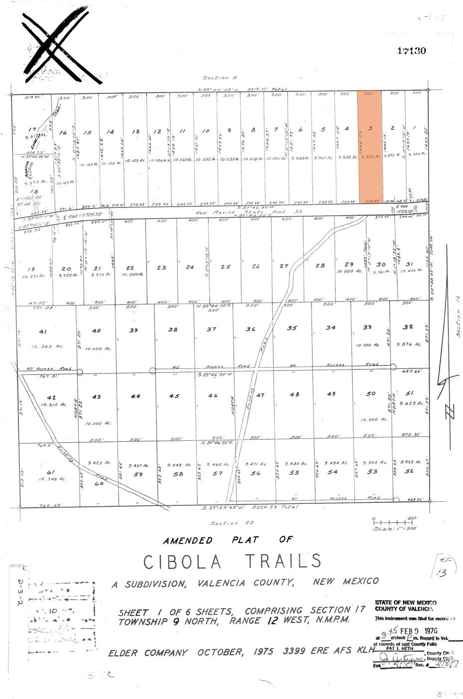
The subject property is a 9.93 acre parcel found in Cibola Trails, a rural residential subdivision located thirty minutes outside of Grants in the heart of the Zuni Mountains.
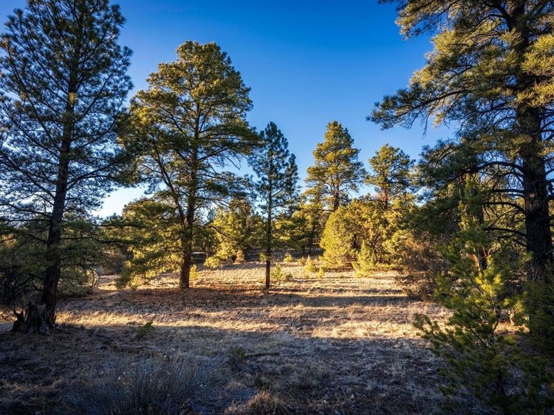
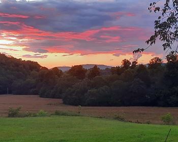
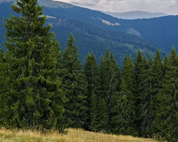
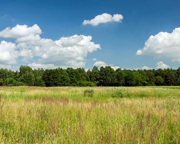
Consisting of mature pinion and ponderosa pines, this expansive property will provide plenty of privacy for anyone looking to develop a homestead or rural retreat. In addition, it is ideal for hunters and outdoorsmen as it sits within only two short miles of the over 300,000 acres that make up the Cibola National Forest, one of the premiere hunting destinations in the state.
County, State: Cibola County, New Mexico
Lot Size: 9.93 Acres
Nearest Town: Ramah
Street Address: Not Designated
Zip Code: 87014
Latitude & Longitude:
Center: 35.0150,-108.11960
Nw: 35.01690,-108.12020
Ne: 35.01690,-108.11910
Sw: 35.0130,-108.12010
Se: 35.0130,-108.11910
Legal Information
Legal Description: Cibola Trails, Lot 3
Parcel Number: 455
Account Number: R06971
Annual Taxes: $95.00
Access & Utilities
Roads & Access: The subject property is located off of State Road 53 also known as Ice Caves Road. The State Road is both paved and regularly maintained meaning the land will be easily accessible no matter the vehicle type or weather conditions.
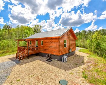
Roads & Access, Cont'd: It should be noted that fencing has been installed along the southern end of the property separating it, as well as the rest of the subdivision, from the State Road. This is common in rural regions like this where most of the land remains undeveloped. That said, anyone looking to develop the property should have no difficulty cutting the fencing to build a driveway or path to access their land directly from the State Road, much as the owners of the neighboring 10 acres have done (see photos in the gallery at the bottom of this page).
Power & Utilities: Underground utilities can be found running along the southern of the subject property along State Road 53 and residential power lines can be found running along the north end of the land. Both appear to be servicing the nearby developed home site. Because of this, it should be both easier and more affordable to get service connected to whatever you decide to build on the land. Anyone looking to investigate the costs associated with connecting to the grid is encouraged to contact Continental Divide Electric Cooperative, the utility company servicing this region.
Wells & Water Service: As with most of the rural land we list, city water service does not exist in this region and anyone electing to develop the land will need to either utilize holding tanks or install a well. Applications for well drilling permits and water rights are handled by the Office of the State Engineer. Anyone curious to learn more about this process is encouraged to visit their website here. Anyone looking to investigate the water table depth common to this region is encouraged to contact well drillers local to the area.
Legal Access: Yes
Access Road: Highway 53 aka Ice Caves Road
Access Condition: Paved Road
Access Frontage: 300 Ft Southern Boundary
Power: At The Lot Line
Phone: Underground Telecom At The Lot Line
Water: By Well or Holding Tank
Sewer: By Septic
Zoning & Restrictions
Zoning: Cibola County is one of the few New Mexico counties that has no formal county-wide zoning ordinance and defers instead to towns, municipalities and owners' associations within its borders to make and enforce their own rules. Because of this, the only "local" regulations specific to this region would come either from an Association or from the covenants and restrictions on file for the subdivision.
No HOA: The subject property is not part of an HOA and there are no annual dues associated with land ownership here.
Covenants, Conditions & Restrictions: While the subject property is part of a formal subdivision known as Cibola Trails, there are no covenants or restrictions documents on file with the County for this region. This suggests none were ever created.
Acceptable Structures: Because of the lack of restrictions detailed above, it should be noted that there is nothing on file with the County regarding either acceptable building styles, structure types or minimum square footage requirements. This means that aside from the more traditional mobile and modular homes, the subject property is also ideal for unconventional or non-conforming structures built up to code such as geodesic domes, barndominiums, yurts, shipping containers or even tiny homes.
Camping & RVs: Along the same lines, there are no recorded restrictions on the use of RVs for extended camping trips. That said, state environmental regulations will require a functional waste disposal system for anyone staying longer than thirty days at a time.
Zoning: No Formal Zoning Designation
HOA: None
Covenants, Conditions & Restrictions: None
Annual Dues: None
Time Limit On Building: None
Title Info
Title: Free & Clear
Liens and Encumbrances: None
Mineral Rights: None
Recent Survey: None
Title Insurance: Yes - Insured Through New Mexico Land & Title
Conveyance Document: Warranty Deed
Suggested Type Of Closing: Title/Escrow
Doc Prep Fee: Waived
Misc
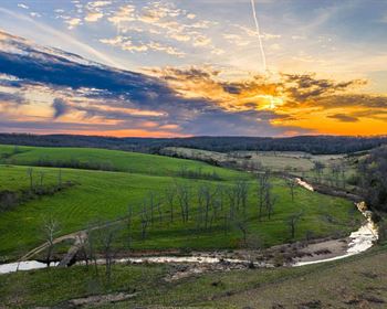
Cibola National Forest: The subject parcel sits in close proximity to thousands of acres of private land in the form of the Cibola National Forest. This makes the property ideal for hunters looking to take advantage of the elk, mule deer, wild turkey and other species that make this area one of the premier hunting destinations in the state.
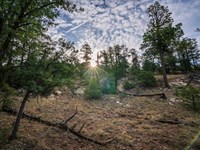
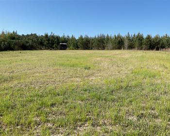
Topography: The subject property consists of a mix of alligator juniper, pinion and large ponderosa pines which will provide a nice degree of privacy to whoever elects to develop this property. In addition, the land also boasts some nice cut-out regions in the form of sagebrush meadows which should be easy to park, camp and eventually build on. The slope of the property is minor, rising only gently from its southern to northern ends.
Fencing: Fencing can be found running along both the southern and eastern ends of the subject property. The southern fencing was likely erected by the County to separate the land from the State Road. The eastern fencing was likely erected by the neighboring property owners. An access gate can also be found along the eastern fence though it's unclear why this was originally installed.
Property Boundary Markers: While the southern and eastern boundaries of the subject property are well-defined by fencing, our photographer was only able to locate one boundary marker on the land -- at the northeast corner.
Nearby Towns
Ramah: 26 miles (26 min)
Grants: 30 miles (34 min)
Gallup: 67 miles (1 hr 12 min)
Albuquerque: 105 miles (1 hr 38 min)
Los Lunas: 107 miles (1 hr 42 min)
Rio Rancho: 111 miles (1 hr 45 min)
Nearby Attractions
El Morro National Monument
El Malpais National Monument
Acoma Pueblo
Wild Spirit Wolf Sanctuary
San Estevan Del Rey Mission Church
Ice Cave & Bandera Volcano

